Initiatives
To help promote and advance the art, craft, and science of cartography, NACIS provides these initiatives. They exist to serve and benefit not only our members, but the mapmaking community at large.
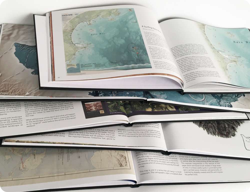
Atlas of Design
The Atlas of Design is a collection of some of the most beautiful and interesting maps in the world today. Published biennially, and judged by a panel of top designers, it is a showcase of inspiration for cartographers and map enthusiasts alike.
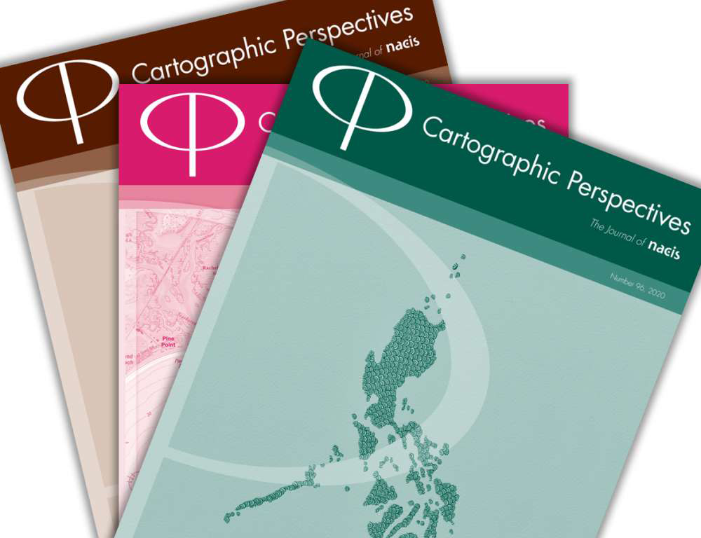
Cartographic Perspectives
Cartographic Perspectives, published three times per year, is the journal of NACIS. Featuring peer-reviewed articles from academics alongside practical cartographic tips from respected professionals, CP follows a unique free-and-fair model: all articles are distributed free online and authors retain copyright to their contributions.
Grants and Awards
NACIS encourages students and professionals alike to attend and show off their hard work at the annual conference. We offer a number of awards and grants to recognize the accomplishments of our brilliant cartographers. NACIS also has travel grant initiatives that invest in the future growth and strength of the organization.

Mentor Program
NACIS is committed to providing professionals with resources in navigating the early years of cartography and beyond. In our Mentor Program, experienced NACIS members are paired with early-career members for a series of one-on-one virtual conversations over six months. This program is designed to foster professional development and provides an opportunity for two colleagues to establish a trusting partnership.
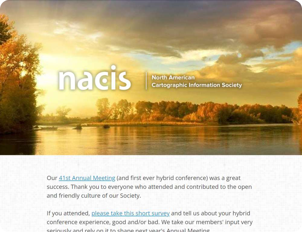
NACIS News
Subscribe to the NACIS News for up-to-date information about the Society’s current activities as well as other useful for the mapmaking and map-loving community. Check here for updates on our Annual Meeting, publications, and more.

NACIS Shop
Make a cartographic fashion statement with a t-shirt designed by a NACIS colleague. All proceeds from the NACIS Shop go to supporting popular NACIS initiatives, including student travel grants, contest awards, accessibility expenses, and video streaming.
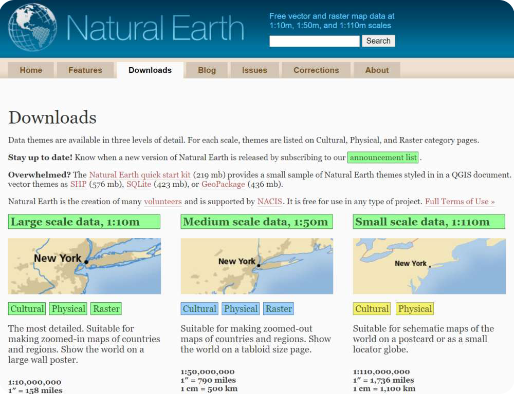
Natural Earth map data
Natural Earth is a public domain map dataset available at 1:10 million, 1:50 million, and 1:110 million scales. Featuring tightly-integrated vector and raster data, with Natural Earth you can make a variety of visually pleasing, well-crafted maps with cartography or GIS software.
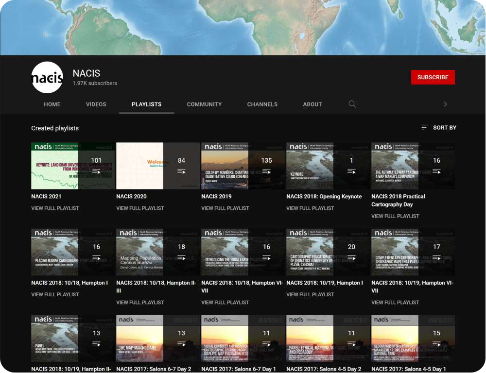
YouTube videos
Since 2016, parts or all of our annual meeting presentations are filmed and livestreamed. Over 500 videos are available now, representing a wealth of cartographic information, and they can be found on our YouTube channel.